Maxon v. Long Lake Township If someone sets a tall ladder against your fence, and leans out into your yard to take photographs, would that be a trespass? A court would surely affirm common sense and say that’s a trespass – even if the offender is merely leaning into the space over your property, touching nothing.
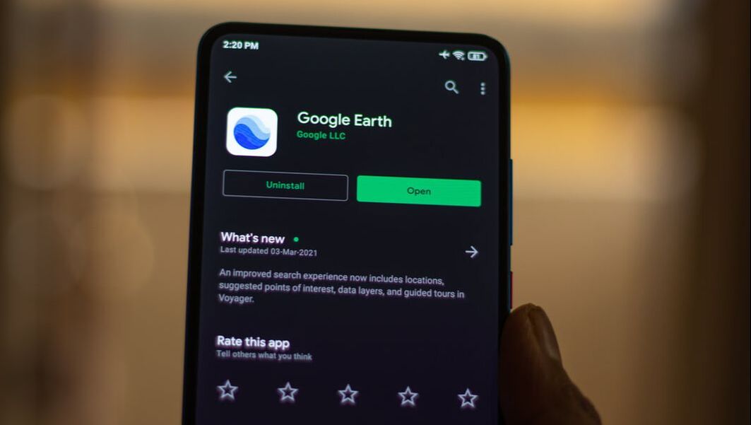
What if a nosy neighbor hoisted a Go-Pro on a long camera stick over your fence? Again, that would be a trespass. But what if you drew a line from the core of the Earth, through your backyard, to a point in outer space 280 miles above the planet? Is all that aerial space above your backyard protected? This is important because the “trespass test” is essential to how courts determine if government surveillance should or should not require a probable cause warrant to inspect a citizen’s property. Such questions emerge from the comments of an Associate Justice of the Michigan Supreme Court during oral argument last week in Long Lake Township v. Maxon. This case centers around whether local government should have obtained a probable cause warrant to send a drone to surveil a five-acre estate for the civil offense of collecting prohibited scrap. Is a drone more like the nosy neighbor or more like the camera on an airplane, or – given advances in technology – the sensors of a Google Earth satellite? The counsel for the township told the court: “Google has a tool where you can even draw, if you want to know whether it’s 50 feet from this house to this barn, or 100 feet from this house to this barn. You do that right on the Google satellite imagery. And so given the reality of the world we live in, how can there be a reasonable expectation of privacy in aerial observations of property?” The government’s argument seems to be that technology is so advanced that privacy is dead. And if privacy is dead, then should we scrap the Fourth Amendment as a quaint relic of the Eighteenth Century? Maxon’s counsel held fast to the idea that Google Earth cannot yet perform the kind of invasive, sensory-rich surveillance that a drone can do. He also noted that drones, limited by the FAA to fly under 400 feet, are necessarily low altitude. One Justice reacted to the assertion that if Google Earth could map a backyard as closely and intimately as a drone, that would be a search. “Technology is rapidly changing,” the Justice responded. “I don’t think it is hard to predict that eventually Google Earth will have that capacity.” U.S. Supreme Court case law has held that ordinary photographs from fixed wing aircraft flying into publicly navigable airspace, or from helicopters, do not violate the Fourth Amendment and thus do not require a warrant. Not so, however, for more advanced technology. For example, the Baltimore Police Department flew a plane with military technology developed for occupied Baghdad to take pervasive snapshots of Baltimoreans and their movements across 30-square miles. This technology is extraordinarily robust, able to record and track the movement of thousands of individuals and cars across a whole day. A federal court recognized that such super-sharp, comprehensive imagery necessarily invokes constitutional issues. An ACLU lawsuit against this war-zone surveillance of Americans resulted in the Fourth Circuit Court of Appeals finding the practice to be unconstitutional. Last week’s Michigan oral argument will likely be seen as another great step forward in the debate over aerial surveillance. At first, the discussion centered around altitude – as if the 400-foot limit of a drone made its closeness (like the nosy neighbor) the decisive factor. But the exchange points to the conclusion that the truly decisive factor is not altitude, but the level of intrusiveness of a given technology. How much information can a drone equipped with facial recognition, heat sensing, and other superhuman sensory capabilities glean from an overflight? Enough, we say, to qualify as a trespass requiring a probable cause warrant. In fact, such drones could gather even more information than an individual physically inspecting a property. Given that the U.S. military and the CIA already use satellite imagery to identify and follow individuals, it is not a stretch to say that Google Earth or something like it will soon have an ability to pierce the privacy of any domicile or anyone who walks outside. But that does not make such an invasion reasonable or destroy legitimate expectations of privacy. And if such a degree of intrusion into someone’s privacy – whether from a plane equipped with war-zone surveillance technology, or a Google Earth camera with slightly futuristic capabilities – then that, too, would constitute a trespass by Google requiring a probable cause warrant. The law already distinguishes between the incidental path of a passenger airplane and a deep search, like that of the Baltimore police aircraft. The same principle should apply to intrusive private conduct. A watcher who is at a sufficient altitude above an actual physical presence could still be considered a trespasser of sorts when peering into someone’s backyard at a level of detail impossible for a passenger on an ordinary overflight. That evolving technology allows intrusive invasions over greater distances does not negate any “reasonable expectations of privacy” by citizens – it just illustrates growing violations of those expectations. The Michigan court seemed to be alert to these dangers. Chief Justice Elizabeth T. Clement referred to the reasoning in PPSA’s amicus brief asking if the Supreme Court reversed itself to ultimately uphold the “exclusionary rule” discounting evidence that violates the Fourth Amendment. However Maxon is decided, this case will likely be remembered for logically leading to the idea that in aerial surveillance the Fourth Amendment is invoked by the degree of intrusion, not mere altitude. Comments are closed.
|
Categories
All
|


 RSS Feed