
 When we covered a Michigan couple suing their local government for sending a drone over their property to prove a zoning violation, we asked if there are any legal limits to aerial surveillance of your backyard.
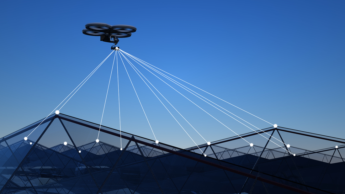
In this case before the Michigan Supreme Court, Maxon v. Long Lake Township, counsel for the local government said that the right to inspect our homes goes all the way to space. He described the imaging capability of Google Earth satellites, asking: “If you want to know whether it’s 50 feet from this house to this barn, or 100 feet from this house to this barn, you do that right on the Google satellite imagery. And so given the reality of the world we live in, how can there be a reasonable expectation of privacy in aerial observations of property?” One justice reacted to the assertion that if Google Earth could map a backyard as closely and intimately as a drone, that would be a search. “Technology is rapidly changing,” the justice responded. “I don’t think it is hard to predict that eventually Google Earth will have that capacity.” Now William J. Broad of The New York Times reports that we’re well beyond Google Earth’s imaging of barns and houses. Try dinner plates and forks. Albedo Space of Denver is making a fleet of 24 small, low orbit satellites that will use imagery to guide responders in disasters, such as wildfires and other public emergencies. It will improve the current commercial standard of satellite imaging from a focal length of about a foot to about four inches. A former CIA official with decades of satellite experience told Broad that it will be a “big deal” when people realize that anything they are trying to hide in their backyards will be visible. Skinny-dipping in the pool will only be for the supremely confident. To his credit, Albedo chief Topher Haddad said, “we’re acutely aware of the privacy implications,” promising that management will be selective in their choice of clients on a case-by-case basis. It is good to know that Albedo likely won’t be using its technology to catch zone violators or backyard sunbathers. We’ve seen, however, that what is cutting-edge technology today will be standard tomorrow. This is just one more way in which the velocity of technology is outpacing our ability to adjust. There is, of course, one effective response. We can reject the Michigan town’s counsel argument who said, essentially, that privacy’s dead and we should just get over it. Courts and Congress should define orbital and aerial surveillance as searches requiring a probable cause warrant, as defined by the Fourth Amendment of the U.S. Constitution, before our homes and backyards can be invaded by eyes from above. The greatest danger to privacy is not that Albedo will allow government snoops to watch us in real time. The real threat is a satellite company’s ability to collect private images by the tens of millions. Such a database could then be sold to the government just as so much commercial digital information is now being sold to the government by data brokers. This is all the more reason for Congress to import the privacy-protecting warrant provisions of the Fourth Amendment Is Not For Sale Act into the reauthorization of FISA Section 702. Comments are closed.
|
Categories
All
|
 RSS Feed